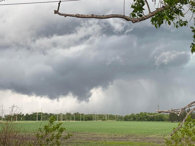
Update: As of 4:06 PM CDT, Environment Canada meteorologists have changed the Tornado warning for The R.M. Of Alonsa, including Sand Bay and Ebb And Flow to a Severe thunderstorm Warning.
The storm is being tracked through the province, as it's moving eastbound at 35 Km per hour.
Severe thunderstorm warnings are issued when imminent or occurring thunderstorms are likely to produce or are producing one or more of the following: large hail, damaging winds, and torrential rainfall.
Please continue to monitor alerts and forecasts issued by Environment Canada. To report severe weather, send an email to This email address is being protected from spambots. You need JavaScript enabled to view it. or tweet reports using #MBStorm.
___
Update: At 3:22 PM CDT, Environment Canada meteorologists are tracking a severe thunderstorm that is possibly producing a tornado.
The R.M. Of Alonsa, including Sand Bay and Ebb And Flow could see high winds resulting in a possible tornado.
This is a dangerous and potentially life-threatening situation.
Take cover immediately, if threatening weather approaches. If you hear a roaring sound or see a funnel cloud, swirling debris near the ground, flying debris, or any threatening weather approaching, take shelter immediately.
___
At 2:20 PM, Environment Canada announced they were tracking a severe thunderstorm in the Parkland area.
The watch covers much of the southwest of the province, but a severe system is tracking across the area north of Riding Mountain.
A warning is in effect for Makinak and Ste.Rose. These areas could see the worst storm conditions as the system is rapidly moving east.
These storms could bring high wind, lightning, and nickel-sized hail.
Be sure to keep an eye on Environment Canada's Website in order to track the storm, and prepare for extreme weather conditions


